Cluster modeling, air-to-ground cooperation, DJI UAV efficient co
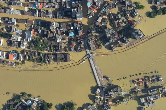
Not long ago, large-scale heavy rainfall occurred in the south, and many places in Guangdong Province suffered torrential rains, landslides and other natural disasters. Yingde City and many other places are purely severe.
After the occurrence, the anti-application of DJI business and the partners responded quickly. Under the leadership of the relevant emergency rescue department, the DJI business counter-applied UAV and DJI Sikong were used. 2 The air-ground cooperation of the cloud platform adopts the way of "multi-unit group, cloud modeling" to improve the efficiency of emergency rescue, which provides accurate digital support for the smooth development of rescue operations.
Cloud cluster modelingQuickly hunt for large-scale rescue information
Emergency rescue and disaster relief are imminent. In order to prepare for rapid hunting and insurance intelligence, the rescue command center sent a number of DJI operation drones to work quickly. Through DJI Sikong2 Divide the reconnaissance area and plan the route in the cloud. In a short period of time, the mapping results of a number of drones were quickly assembled to create a comprehensive electronic combat base map of flood disasters.
In the light of the dangerous situation, the front command formulates the hunting and rescue plan, adjusts the work position, and makes use of Sikong.2 Of. Point, line, marking function, quickly measure the disaster area on the map, mark the task area of each rescue team, submerged area and so on. The rescue teams immediately carried out rescue and relief work.
Benefit from DJI Sikong2 With the powerful ability of cloud mapping and real-time information synchronization, multiple UAVs can work in zones at the same time, quickly and automatically assemble the model results in the cloud, and present the base image in real time. Longitude and latitude, match longitude and latitude. M30 The system works for three hours and can be found in the 21 It was finished in minutes. 3.2 A fast map such as a two-dimensional orthophoto image of a square kilometer area.
Real-time information sharingAuxiliary improvement of operation efficiency
The flood-dry disaster area covers a wide area and is heavily affected, so it is difficult for flying hands to accurately synchronize the rescue team on the ground at the first time after capturing the letter. In the future, they need to be transmitted through walkie-talkies, telephones, and other means, affecting the timeliness and accuracy of the information.
Make use of Sikong2 With the multi-terminal synchronization and real-time live broadcast functions of the cloud platform, rescue teams with large scale and numerous functions can share rescue information efficiently. Front-line rescue workers and front and rear headquarters access the rescue mission platform through mobile devices such as machines, computers and remote controls to fully, practically and accurately understand the latest situation at the scene.
When flying hands find people suspected of being trapped, they can take infrared, visible and panoramic pictures, synchronize to the clouds, and the command center will identify and judge, issue rescue plans, and at the same time use rapidly generated panoramic pictures to let rescue workers know the full picture of the disaster in time. The UAV records what happens at different times, which facilitates the review of fixed levels and subsequent consecutive events, which makes command, scheduling and execution particularly efficient.
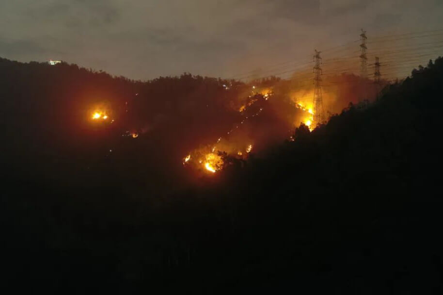
The flood area, the flood disaster area, the flood disaster area, suddenly, the cable, is easy to be destroyed, in the disconnection, the disconnection networkUnder the extreme conditions of "three breaks", the situation of disaster and casualties are unknown, how to transmit information?
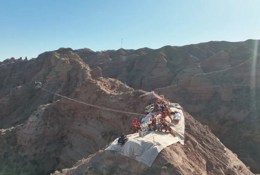
At this time, the flying hand can also connect the UAV remote controller with the satellite portable station to realize the public network cloud through the satellite link, so as to provide stable and reliable information support for the command and rescue.
Since income, all levels of prevention refers to strengthening the dynamic monitoring of relevant letters such as disaster exploration and danger. Dajiang Unmanned aerial vehicle and Sikong2 The new solution composed of the cloud platform greatly improves the work rate of earthquake prevention and disaster relief, and helps the Buddha prevention command department to prepare efficiently, have clear responsibilities, and scientifically carry out disaster prevention and mitigation work in combination with prevention and control.
Other News
-
 Cluster modeling, air-to-ground cooperation, DJI UAV efficient co2024-09-21
 -
 Coordination between air and ground, efficient control | DJI Asso2024-09-21
 -
 How to respond quickly after an earthquake? Emergency missio2024-09-21
 -
 How did drones become the core rescue tool in the2024-09-21
 -
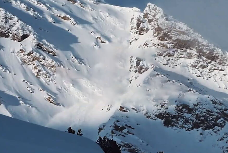 There was a sudden avalanche in the French ski resort,&2024-09-21
 -
 Latitude and longitude M30 System +Dajiang Sikong 2 Redefine the cooperatio2024-09-21