Earthquake and geological disaster rescue
The UAV can quickly build a large-scale two-dimensional and&
Business pain points
Advantages of unmanned aerial vehicles
Topographic surveying requires a large amount of field work, high personnel and time investment, and high costs;
The traditional method of data collection has low efficiency, long construction period, and cannot be delivered in a timely manner;
Traditional surveying and mapping results are limited to digital line drawings and cannot display terrain and landforms in a three-dimensional and intuitive manner;
The traditional method of data collection has low efficiency, long construction period, and cannot be delivered in a timely manner;
Traditional surveying and mapping results are limited to digital line drawings and cannot display terrain and landforms in a three-dimensional and intuitive manner;
Capable of single person operation, efficiently completing large-scale terrain measurement tasks;
Drones can quickly conduct 1:500 image free terrain surveys, and the efficiency of field data collection is 5 to 10 times higher than traditional manual methods;
We can provide various surveying and mapping results such as DOM, DSM, real-life 3D models, and digital line drawings.
Drones can quickly conduct 1:500 image free terrain surveys, and the efficiency of field data collection is 5 to 10 times higher than traditional manual methods;
We can provide various surveying and mapping results such as DOM, DSM, real-life 3D models, and digital line drawings.
Solution
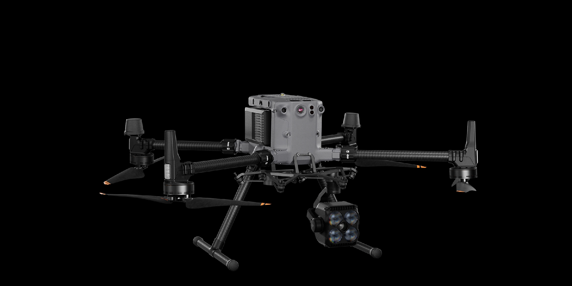
Lidar mapping scheme
Matrice 350 RTK is equipped with Zenith L2 laser visible light fusion payload, which can "penetrate" vegetation and obtain understory terrain data. With the cooperation of DJI Smart Map and third-party point cloud classification software, terrain measurement operations can be efficiently carried out.
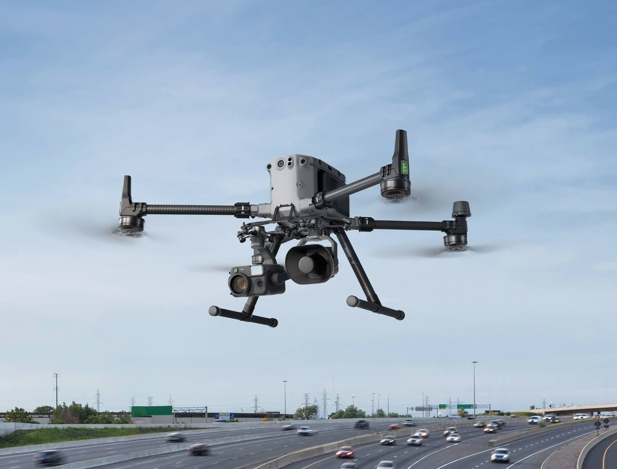
Drones have omnidirectional obstacle avoidance capabilities, which are safe and reliable
Zenith L2 integrates laser radar, visible light camera, high-precision inertial navigation, and three-axis gimbal, which can efficiently collect ground point cloud data
The entire solution is highly integrated and easy to use
Zenith L2 integrates laser radar, visible light camera, high-precision inertial navigation, and three-axis gimbal, which can efficiently collect ground point cloud data
The entire solution is highly integrated and easy to use
Drones


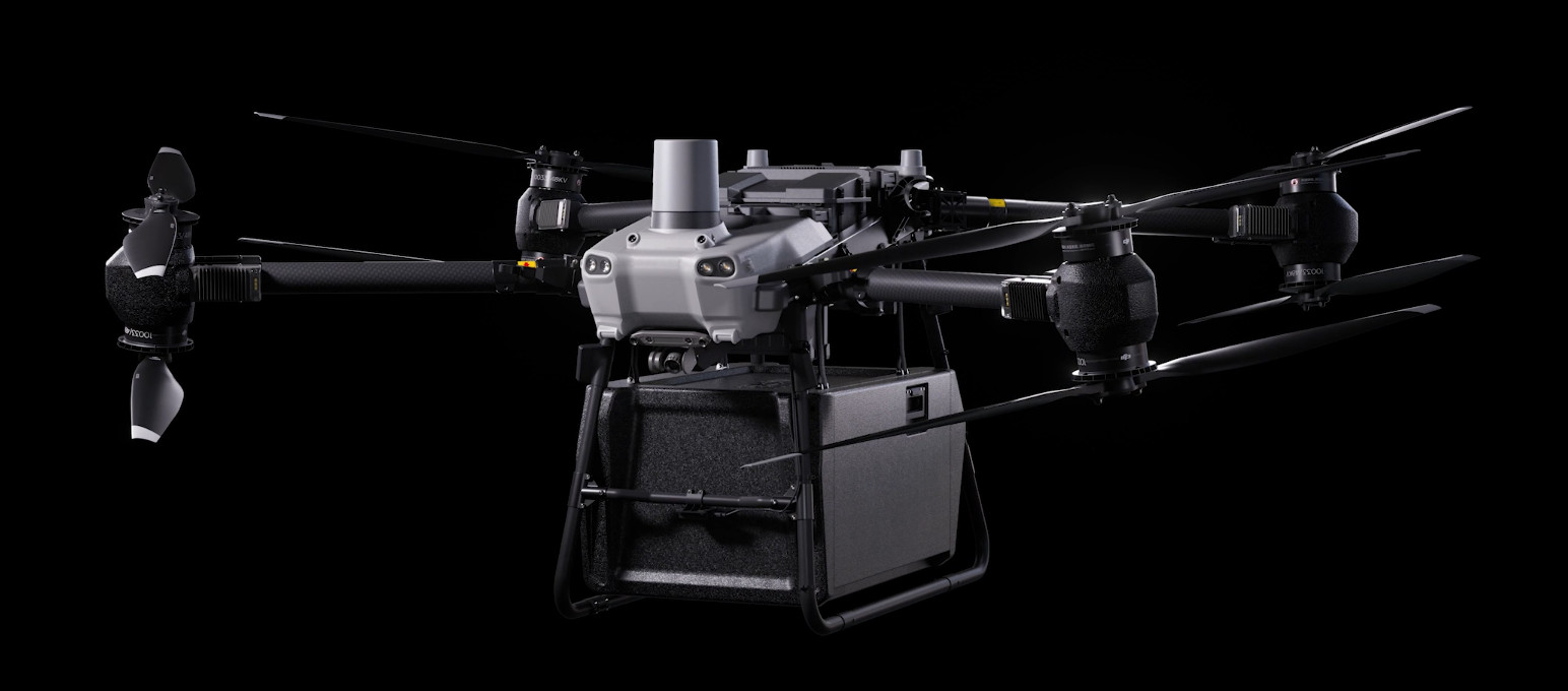
DJI FlyCart 30
... Open
DJI Fly Cart 30 is here to deliver the goods. A long-distance heavy lifter with powerful signal and intelligence, DJI FlyCart 30 supports Cargo mode and Winch mode and ascends beyond traditional logistical limits to deliver a safe, economical, and efficient air transport solution.
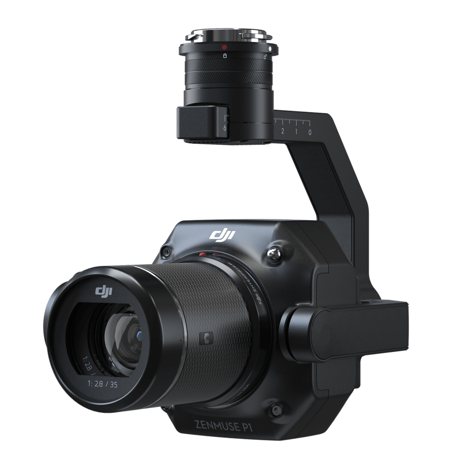
Payload
workflow