Earthquake and geological disaster rescue
After disasters such as earthquakes, landslides and landslides,&n
Business pain points
Advantages of unmanned aerial vehicles
After earthquakes and geological disasters occur, power, transportation, and communication are interrupted, making it difficult for rescue personnel to obtain disaster information.
Use drones to conduct aerial reconnaissance and assessment of disaster situations, collect disaster data, and provide assistance such as throwing, lighting, and communication relay.
Solution
Solutions for earthquake and geological disaster rescue
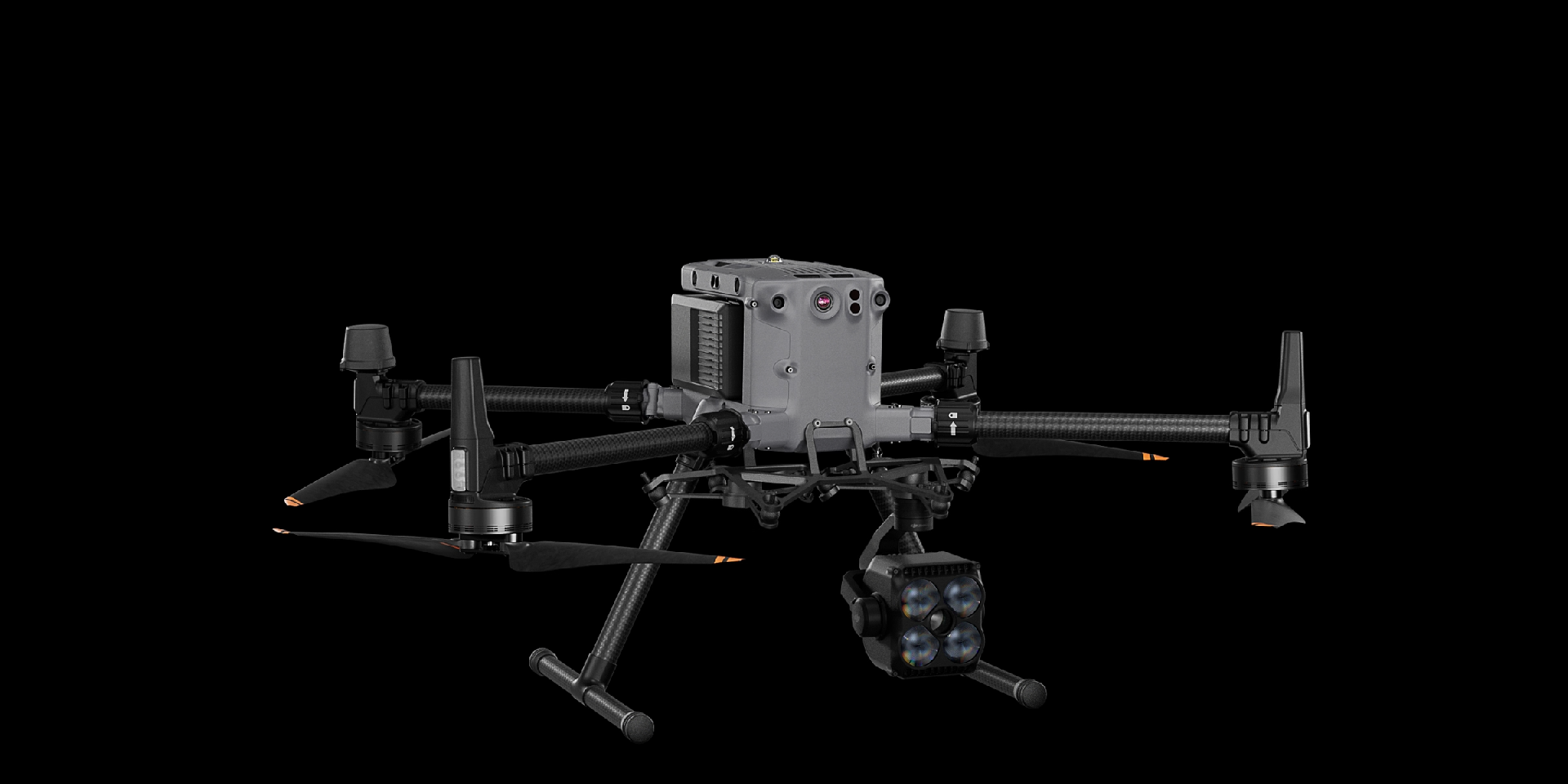
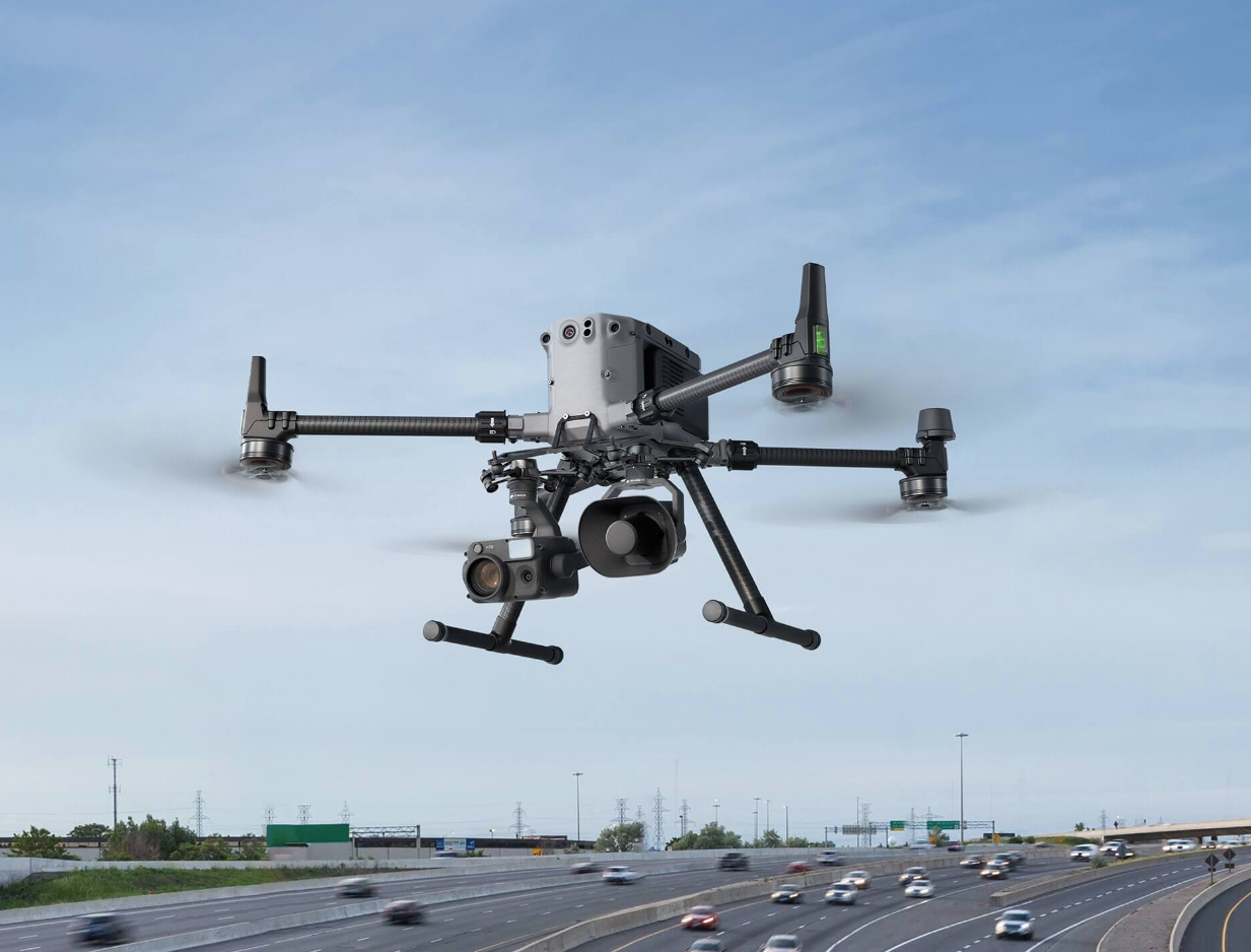
This plan uses a small portable drone DJI Mavic 3T to conduct disaster investigation, and a multifunctional drone DJI Matrice 350 RTK to carry out rescue tasks such as investigation, throwing, lighting, and communication relay.
Can be quickly deployed, operate 24/7, change task loads to carry out diverse task operations
Drones


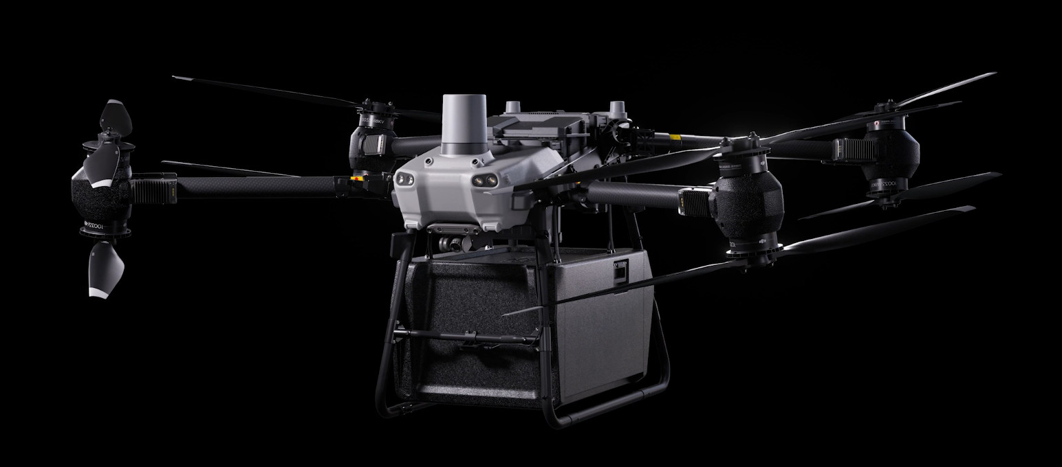
DJI FlyCart 30
... Open
DJI Fly Cart 30 is here to deliver the goods. A long-distance heavy lifter with powerful signal and intelligence, DJI FlyCart 30 supports Cargo mode and Winch mode and ascends beyond traditional logistical limits to deliver a safe, economical, and efficient air transport solution.
Payload
workflow