Have the right to give evidence
The UAV can carry out high-precision surveying and mapping,&
Business pain points
Advantages of unmanned aerial vehicles
Due to the difficulty for surveyors to reach the site, the large area of property rights confirmation, the incomplete coverage of traditional manual surveying, and incomplete information;
The results of manual surveying and mapping data are single, the difficulty of on-site verification is high, and the information collected for property rights is asymmetric.
The results of manual surveying and mapping data are single, the difficulty of on-site verification is high, and the information collected for property rights is asymmetric.
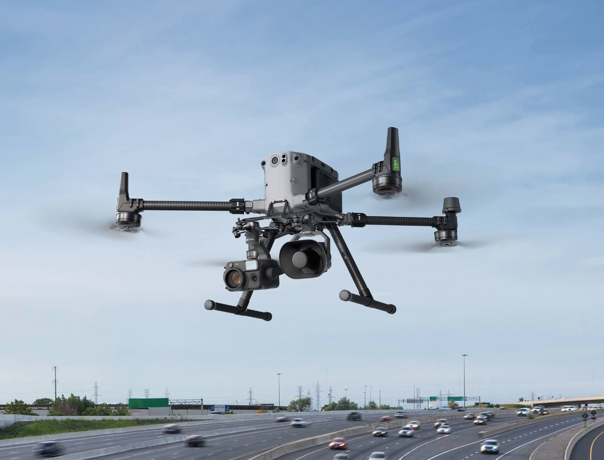
Drones are not limited or obstructed by terrain, with comprehensive evidence collection and reduced difficulty in field operations;
Drone photos with location coordinates and time information have high credibility as evidence. The data collection efficiency is more than 10 times that of manual labor, and it can automatically associate photos with evidence spots, reducing labor costs.
Drone photos with location coordinates and time information have high credibility as evidence. The data collection efficiency is more than 10 times that of manual labor, and it can automatically associate photos with evidence spots, reducing labor costs.
Solution
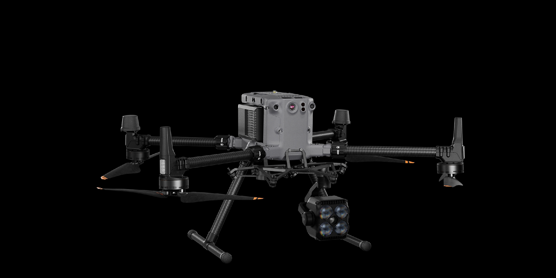
Full frame efficient surveying and mapping solution
The Matrice 350 RTK is equipped with the Zenith P1 full frame surveying camera, and only requires 4 sorties to complete 10 square kilometers of orthophoto data acquisition. Combined with DJI Smart Map, an integrated solution for property rights registration can be formed.
Drones have omnidirectional obstacle avoidance capabilities, which are safe and reliable
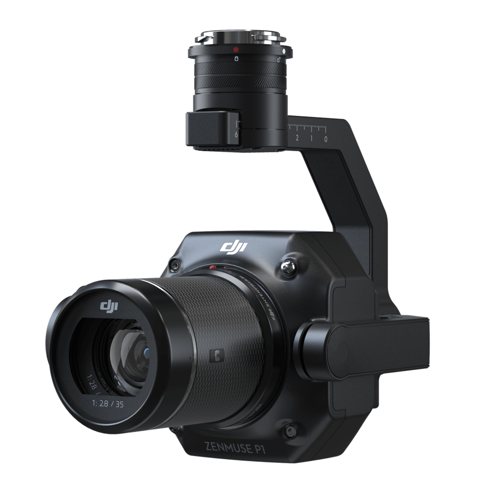
Zenith P1 has a full frame sensor with 45 million pixels, which can efficiently complete data acquisition
High precision operation, image free control accuracy up to centimeter level
Zenith P1 has a full frame sensor with 45 million pixels, which can efficiently complete data acquisition
High precision operation, image free control accuracy up to centimeter level
Drones


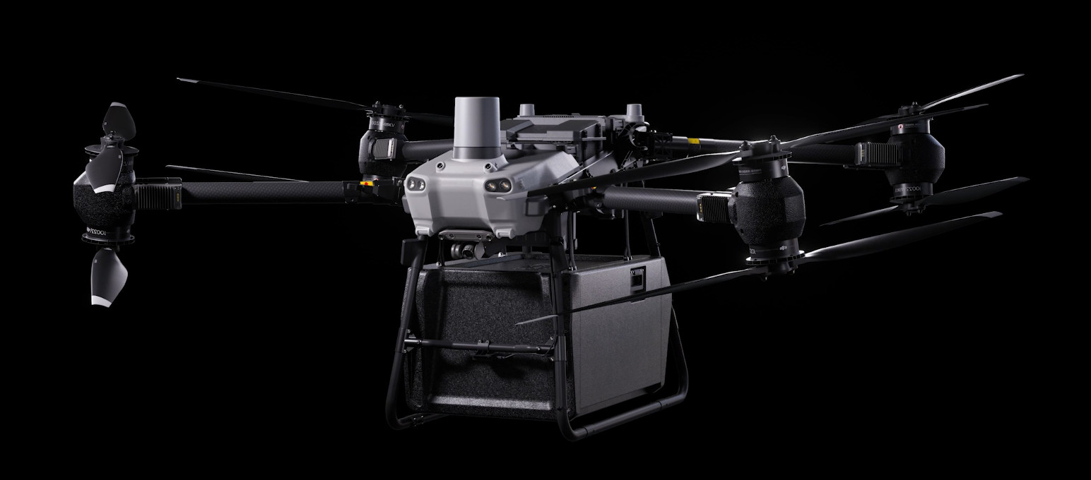
DJI FlyCart 30
... Open
DJI Fly Cart 30 is here to deliver the goods. A long-distance heavy lifter with powerful signal and intelligence, DJI FlyCart 30 supports Cargo mode and Winch mode and ascends beyond traditional logistical limits to deliver a safe, economical, and efficient air transport solution.
Payload
workflow