Operation and maintenance.
The construction plan is collected efficiently by means of&n
Business pain points
Advantages of unmanned aerial vehicles
Engineering operation and maintenance require digital models, and traditional methods of digitization have high costs and low accuracy;
Quickly construct 3D models of buildings or facilities, providing precise digital support for project acceptance and operation and maintenance;
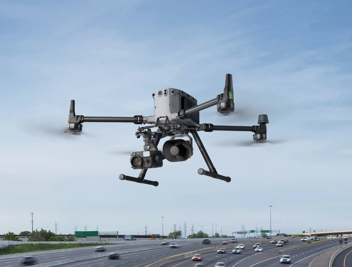
DJI drones can perform close photogrammetry on buildings with high modeling accuracy.
DJI drones can perform close photogrammetry on buildings with high modeling accuracy.
Solution
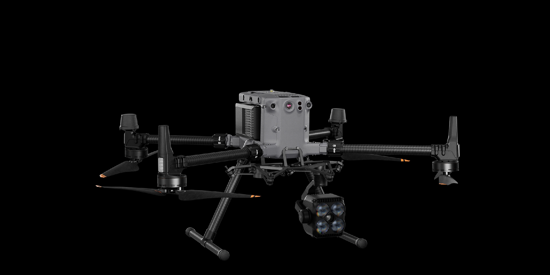
Full frame efficient surveying and mapping solution
The Matrice 350 RTK is equipped with the Zenith P1 full frame surveying camera, which can achieve "intelligent swing shooting" and only requires one flight to meet the five directions of data acquisition required for 3D reconstruction. Cooperating with DJI Intelligent Map 3D Reconstruction Software, it brings high-precision, high-efficiency, and integrated surveying and mapping solutions.
Drones have omnidirectional obstacle avoidance capabilities, which are safe and reliable
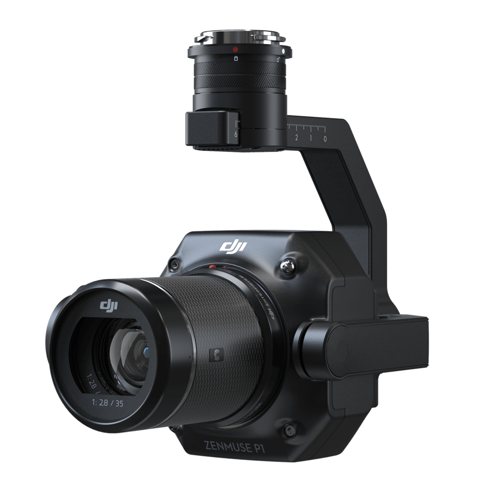
Zenith P1 has a full frame sensor with 45 million pixels, which can efficiently complete data acquisition
High precision operation, image free control accuracy up to centimeter level
Zenith P1 has a full frame sensor with 45 million pixels, which can efficiently complete data acquisition
High precision operation, image free control accuracy up to centimeter level
Drones


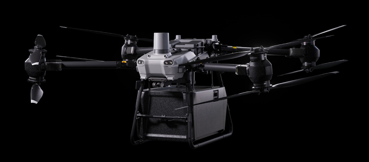
DJI FlyCart 30
... Open
DJI Fly Cart 30 is here to deliver the goods. A long-distance heavy lifter with powerful signal and intelligence, DJI FlyCart 30 supports Cargo mode and Winch mode and ascends beyond traditional logistical limits to deliver a safe, economical, and efficient air transport solution.
Payload
workflow