Geological and mineral monitoring
In order to carry out a comprehensive survey of the&nbs
Business pain points
Advantages of unmanned aerial vehicles
Geological exploration environments are often sparsely populated, full of safety risks, reduce operational efficiency, and threaten personnel safety;
Traditional methods can only obtain partial information and cannot survey the entire surface of the geological environment;
Survey sites often have dense vegetation coverage, making it difficult to obtain accurate ground information.
Traditional methods can only obtain partial information and cannot survey the entire surface of the geological environment;
Survey sites often have dense vegetation coverage, making it difficult to obtain accurate ground information.
Adopting aerial collection methods eliminates the need for most manual on-site surveys, greatly improving efficiency and ensuring personnel safety;
Aerial survey images and laser point cloud data can fully cover the entire geological survey site, obtaining comprehensive and complete geographic information;
Lidar data has a certain degree of "penetrability" and can obtain ground coordinate information.
Aerial survey images and laser point cloud data can fully cover the entire geological survey site, obtaining comprehensive and complete geographic information;
Lidar data has a certain degree of "penetrability" and can obtain ground coordinate information.
Solution
Portable drone surveying solution
Using Mavic 3E portable surveying drone, a single flight can complete the acquisition of 2 square kilometers of 2D orthophoto data, and DJI Smart Map can be used to produce models for the collected data. This solution is portable and easy to use, and can be completed by a single person.
Drones


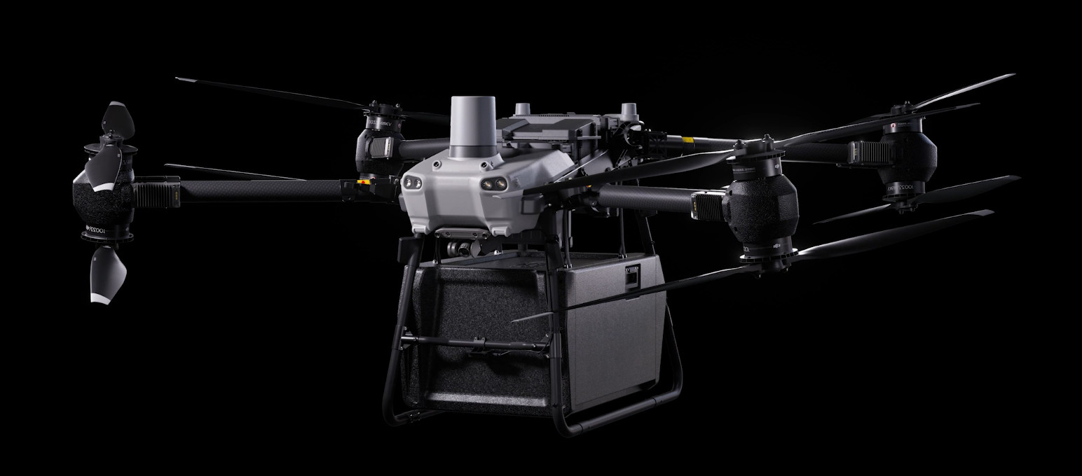
DJI FlyCart 30
... Open
DJI Fly Cart 30 is here to deliver the goods. A long-distance heavy lifter with powerful signal and intelligence, DJI FlyCart 30 supports Cargo mode and Winch mode and ascends beyond traditional logistical limits to deliver a safe, economical, and efficient air transport solution.
Payload
workflow