Three-dimensional construction of China
The construction of 3D China is an important national c
Business pain points
Advantages of unmanned aerial vehicles
Extremely large scope: The real-life 3D China includes all areas of China's territory and territorial waters, requiring the mobilization of practitioners from across the country for collection;
The standard is extremely high: city level requirements for 333 prefecture level cities to achieve real-time 3D collection with a resolution better than 5cm, and to update it periodically, posing severe challenges to the stability of equipment and the quality of data;
Time is pressing: It is expected that the city level real 3D will be fully completed by 2025 for prefecture level cities and above, and by 2035 for county-level cities and above;
Difficulty in data application
Through the high-speed flight capability of drones, a single flight can obtain several square kilometers of real-time 3D raw data;
The RTK and PPK technologies of DJI drones can achieve centimeter level satellite positioning accuracy, and the collected data comes with precise spatiotemporal attributes. The produced real-time 3D data can ensure high quality and meet the rigid requirements of time-series collection;
Through the cluster computing capability of DJI Smart Map, multiple high-performance computing nodes can be called to achieve rapid processing of massive data;
DJI Sikong 2 platform and cloud API interface can achieve seamless integration of unmanned aerial vehicle real-time 3D data
Solution
Component level real-life 3D close to photogrammetry solution
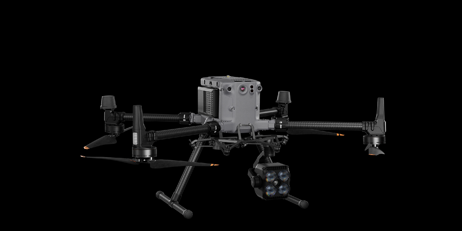
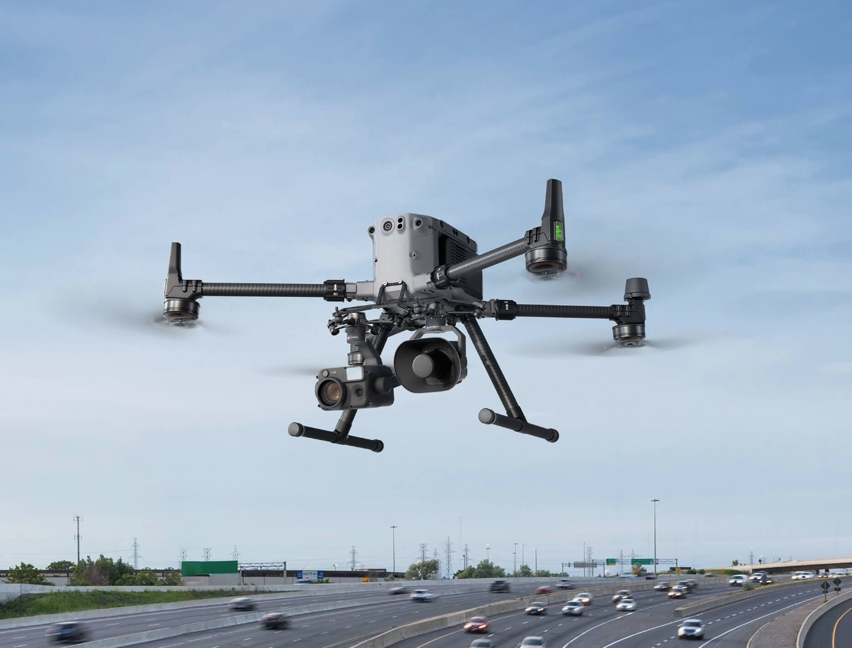
By using the compact and portable DJI Mavic 3E, coupled with a precise RTK module, and relying on its omnidirectional obstacle avoidance and accurate pan tilt control capabilities, it is possible to achieve close photogrammetry of ground objects such as buildings, bridges, and mountain facades that require fine-grained component level real 3D acquisition, obtaining millimeter level resolution images and generating extremely fine models.
Drones are highly portable, compact in size, and convenient for precise close range flight
Excellent pan tilt control capability ensures multi angle shooting and obtains complete surface information of land features
The aerial triangulation and modeling algorithm of DJI Smart Map can accurately reconstruct various types of close photogrammetric data in 3D, generating realistic model results
Drones


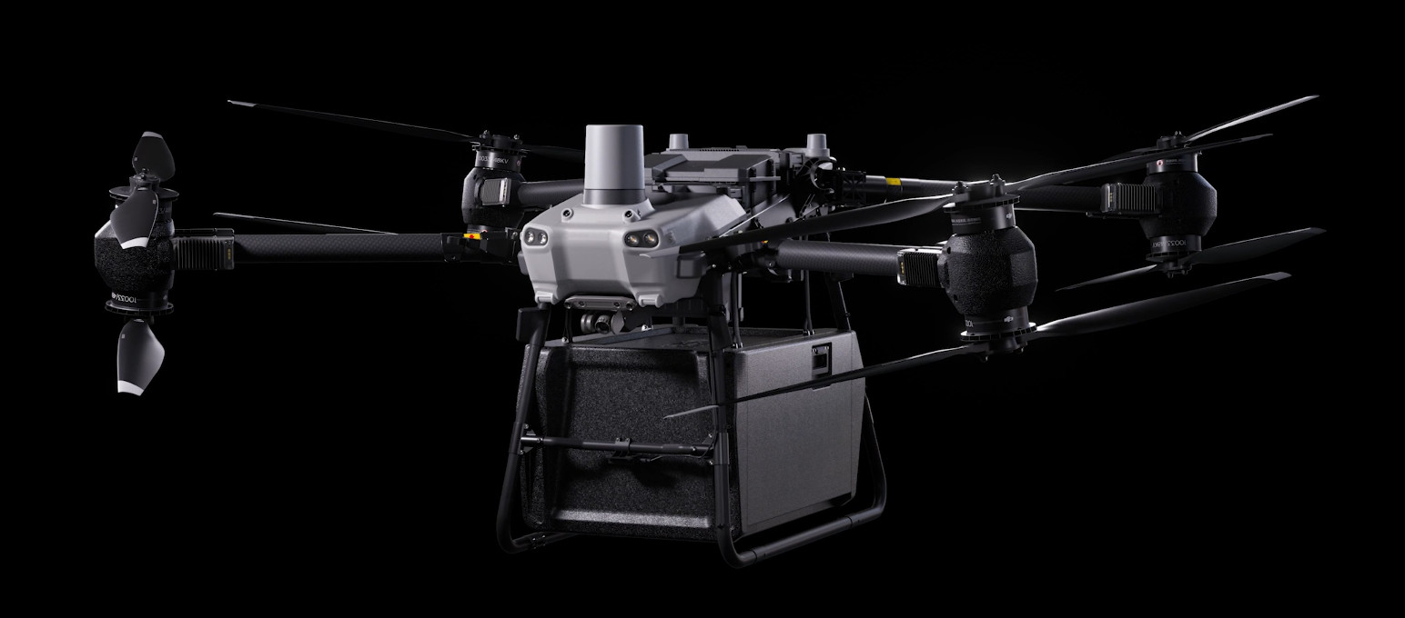
DJI FlyCart 30
... Open
DJI Fly Cart 30 is here to deliver the goods. A long-distance heavy lifter with powerful signal and intelligence, DJI FlyCart 30 supports Cargo mode and Winch mode and ascends beyond traditional logistical limits to deliver a safe, economical, and efficient air transport solution.
Payload
workflow